

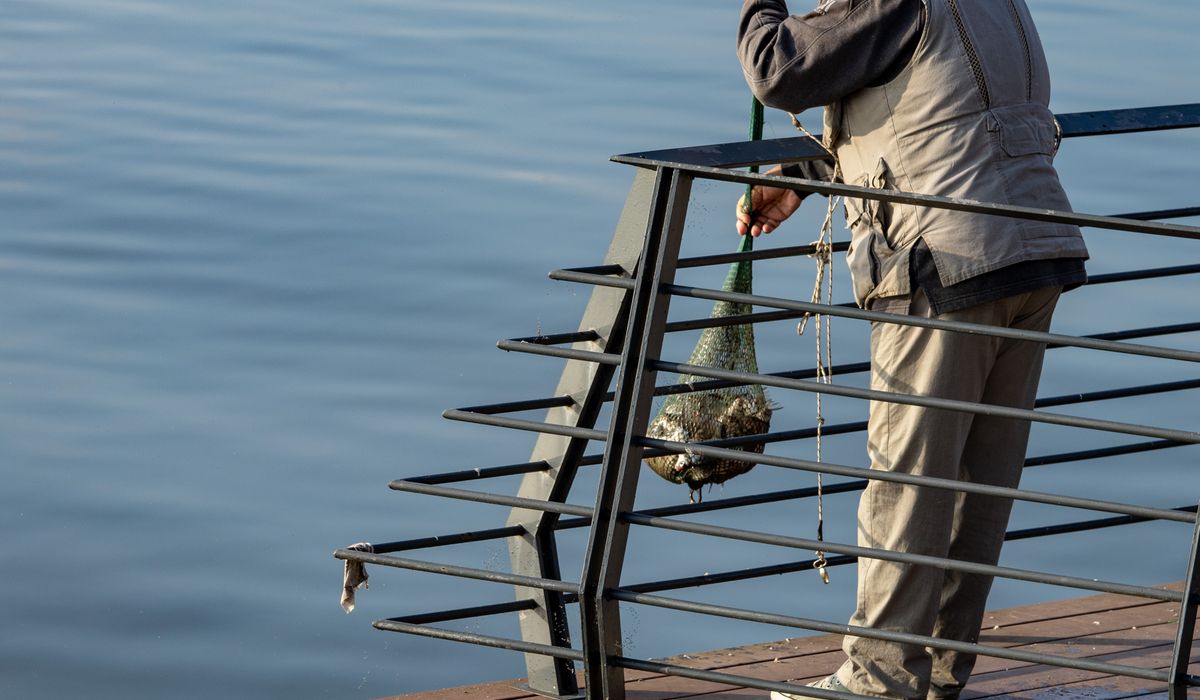
Why the tide table is the first thing you check
On the coast, the tide sets the shape of the day. A beach that is a wide expanse of wet sand at half past ten can be a narrow strip against the sea wall by one. A slipway that looks generous at breakfast may be mud by lunchtime. A tide table — printed, laminated on the harbour office wall, or loaded on a phone — gives you two things for every day: the times of high and low water, and the height in metres at each of those times. Almost everything else you plan around the water follows from those four numbers.
Read them properly and you gain confidence. Skip them and you spend the day guessing, hurrying, or waiting.
High water, low water and tidal range
Heights are almost always quoted above chart datum, which is a low-water benchmark set so that most tides never fall below it. That means a height of 0.4 m is not "a bit of water" — it is a genuine, thoroughly shallow low, with the sea pulled right back. A high water of 4.9 m is a big one.
- High water (HW): the peak of the flood, when the sea reaches its furthest up the beach.
- Low water (LW): the bottom of the ebb, when the most sand, rock and mud is exposed.
- Tidal range: simply HW minus LW. If high water is 4.6 m and low water is 0.6 m, the range is 4.0 m — a big day, with a lot of ground uncovered and a lot of water moving.
Ranges swell and shrink on a fortnightly cycle. Spring tides arrive around the full and new moon (often a day or two after), giving the highest highs and lowest lows. Neap tides, around the quarter moons, give a squeezed, modest range: the low may sit two metres higher than at springs, which can halve the size of your rock pool. If your plan depends on exposed ground, springs are your friend. If you need depth in a shallow harbour, neaps can be the safer bet.
Reading the columns without guessing
Check the top of the page first. Times are usually given in local time, which means BST for most of the year in the UK — the table will say so, but it is worth confirming, because an hour of misreading ruins the whole exercise. Look for the date, then the four columns that matter: time and height for each high and low.
Then think about the shape of the day between those points. Water does not rise and fall evenly. It moves slowest around high and low water — the period called slack — and fastest at mid-tide, roughly three hours either side of high. A useful rough guide is the rule of twelfths: in a six-hour tide, the first hour brings one twelfth of the total rise, the second two twelfths, the third and fourth three each, the fifth two, and the sixth one. It is not precise, but it tells you that the water will do most of its work in the middle of the cycle, and very little just after the turn.
Safe windows for beachcombing and rock pooling
For anything that involves walking out over ground the sea has just left, work with a falling tide. Arrive about two hours before low water, and plan to be back on the upper beach within an hour of the low. That way, if you lose track of time, the tide is still coming back in a predictable, familiar way — and you already know when it will reach the spot where you are standing.
- Pick a spring low for rock pooling; the extra metre or two of exposed ground makes all the difference.
- Check the actual low-water height, not just the time. A low of 0.5 m and a low of 2.4 m are completely different days out.
- Note the time of the next high water before you set off, and identify your exit route in daylight, not on the way back.
- Beware of a falling tide with an onshore wind — the water can return faster along the shore than the table suggests.
Launching and recovering small craft
For dinghies, kayaks and tenders, the tide table dictates the launch window as much as the weather does. Start by asking how much water your slipway needs. Many harbour slips dry out entirely at low water, and a metre of depth at the head of the slip is not the same as a metre at the end of it.
A rising tide is usually the kinder option: if the engine coughs or the paddle slips, the water is carrying you into the harbour rather than out of it. Aim to launch around mid-tide on the flood and be back with a clear margin — many sailors work on returning no later than two hours before low water if the channel is shallow. If there is a bar or a narrow entrance near your harbour, avoid leaving on a strong ebb against an onshore wind; that combination builds steep, awkward seas.
Local quirks, weather and good habits
Your nearest standard port's table is a guide, not a prophecy. Many tables list secondary ports with corrections — so many minutes earlier or later, so many metres higher or lower — and those corrections matter. Local features such as estuaries, narrows and sandbanks can shift the timing by half an hour or more. Ask at the harbour office, or watch the water for a few days against the printed numbers.
Weather moves the tide too. Sustained high pressure can knock several tens of centimetres off a predicted high, while low pressure and a strong onshore wind can push water up the beach well beyond the table. Add wind-against-tide chop and the sea can look far livelier than the heights suggest.
The habit that keeps everything simple: check the table the night before, write the four key times and heights on your hand or your phone, tell someone where you are going and when you will be back, and carry a waterproof way of calling for help. Read the tide, respect the range, and the coast opens up beautifully.


Coding is used in almost all aspects of life and work now, be it directly or indirectly. It’s not just for companies in the tech sector. “An increasing number of businesses rely on computer code,
Coding is used in almost all aspects of life and work now, be it directly or indirectly. It’s not just for companies in the tech sector. “An increasing number of businesses rely on computer code,
Coding is used in almost all aspects of life and work now, be it directly or indirectly. It’s not just for companies in the tech sector. “An increasing number of businesses rely on computer code,